Weather tracker: Wisconsin battered by rare tornado and meteotsunami
Summary
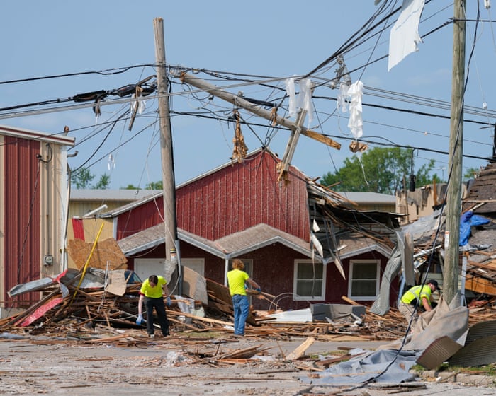
A strong tornado hit northeastern Wisconsin on Monday, damaging many homes but causing few injuries. Nearby, a rare meteotsunami caused unusual water level changes on Lake Winnebago. In the Pacific, two powerful storms rapidly grew stronger, while Europe faced continued extreme heat.Key Facts
- A tornado rated EF3 struck northeast Wisconsin, lasting 26 minutes and traveling 12 miles through parts of Appleton and Menasha.
- This tornado was the fourth EF3 tornado in Wisconsin in 2026, the highest number since 1984.
- The tornado caused widespread damage but only a few injuries, partly because it happened during work hours.
- A meteotsunami, a rare wave caused by air pressure changes, affected Lake Winnebago with water levels dropping and then rising sharply.
- In the North Pacific, Hurricane Genevieve reached category 5 strength and is now weakening without expected landfall.
- Typhoon Dolphin became a super typhoon and may make landfall between southern Japan and Taiwan within the weekend.
- Europe is experiencing a long period of hot, dry weather, with some areas expected to reach around 40°C (104°F), well above average.
Read the Full Article
This is a fact-based summary from The Actual News. Click below to read the complete story directly from the original source.


