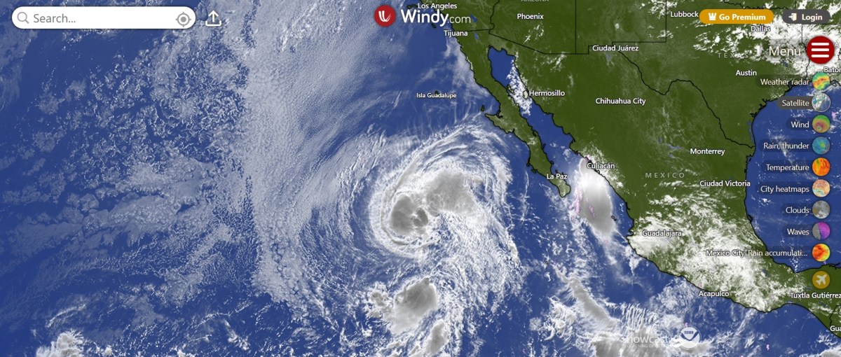
Map Shows Where Two Tropical Storms Will Become One: Tracker Path
Summary
Two tropical storms in the eastern Pacific, named Iselle and Julio, are moving close to each other. Forecasters expect the stronger storm, Iselle, to absorb the smaller storm, Julio, by merging into one storm over open water.Key Facts
- Tropical Storm Julio formed near Mexico's Baja California Peninsula with winds of 50 mph.
- Julio is moving faster than Iselle and is expected to be absorbed by Iselle later Tuesday.
- Tropical Storm Iselle has stronger winds near 70 mph and a bigger size than Julio.
- Both storms remain far from land, so no coastal warnings are in effect.
- Iselle could cause dangerous waves and strong currents along the Baja California coast.
- The merging of storms like this is called the Fujiwhara effect, where two storms rotate around each other and sometimes combine.
- After merging, only the stronger storm, Iselle, will continue to exist.
- The National Hurricane Center is monitoring the storms as they interact over the open Pacific Ocean.
Read the Full Article
This is a fact-based summary from The Actual News. Click below to read the complete story directly from the original source.