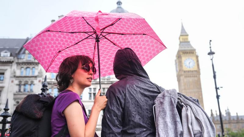
New thunderstorm warnings for parts of UK as rain set to continue
Summary
The UK Met Office has issued new thunderstorm warnings for parts of England and Wales starting early Thursday, with heavy rain, lightning, hail, and strong winds expected. The wet weather may cause flash flooding and travel problems, and similar conditions are forecast for the weekend during several major events.Key Facts
- Thunderstorm warnings start at 2 a.m. Thursday in south-east England and expand at 6 a.m. to much of England and Wales until 10 p.m.
- Rainfall could reach 75mm (3 inches) locally, raising the risk of flash flooding and power cuts.
- Weather will feature heavy showers, hailstones up to 2cm, lightning, and gusty winds.
- The rain will help with drought areas but is unlikely to fully fix dry conditions soon.
- Showers will move north to Scotland and Northern Ireland later Thursday, but they are less affected.
- The weekend will be wet and windy, affecting festivals like Reading, Leeds, Creamfields, Manchester Pride, and Notting Hill Carnival.
- Temperatures will be near normal for late August, ranging from 16°C (61°F) in northern Scotland to 23°C (73°F) in southern England.
- Continued low pressure on Monday will bring more wind and unsettled weather.
Read the Full Article
This is a fact-based summary from The Actual News. Click below to read the complete story directly from the original source.


