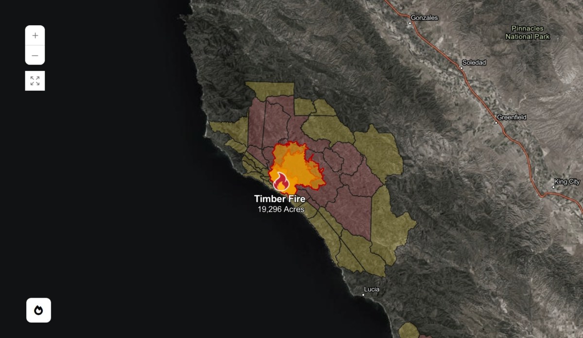
Timber Fire Map Shows Wildfire Containment Levels Near Big Sur
Summary
Two wildfires are burning in California's Big Sur region. The Timber Fire has grown to over 19,000 acres with 21% containment, while the newer Plaskett Fire has burned 140 acres and is not yet contained. Firefighters are working in rugged terrain to protect nearby communities and investigate the cause of the Timber Fire.Key Facts
- The Timber Fire started on August 8 in Los Padres National Forest and has spread to more than 19,000 acres.
- As of Thursday, the Timber Fire is 21% contained.
- The Plaskett Fire began on August 26, south of the Timber Fire, and has burned 140 acres with 0% containment.
- Both fires are burning in steep, hard-to-access wilderness areas of Monterey County.
- Evacuation orders and warnings are in place for residents near both fires.
- Weather conditions such as low humidity, warm temperatures, and gusty winds are helping the fires spread.
- Officials have not yet determined the cause of the Timber Fire; the investigation is ongoing.
- Fire crews are focusing on slowing the spread and protecting structures in the affected areas.
Read the Full Article
This is a fact-based summary from The Actual News. Click below to read the complete story directly from the original source.