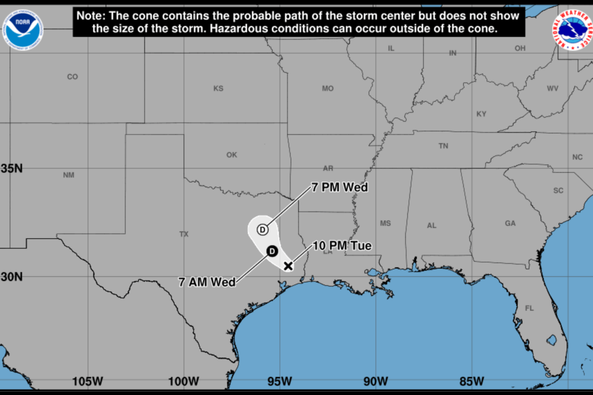
Tropical Storm Edouard Spaghetti Models Show Impact Zone Through Texas
Summary
Tropical Storm Edouard has weakened to a tropical depression but is causing heavy rain and flood risks in eastern and central Texas. Officials are preparing for flooding and travel problems as the storm moves inland from the Gulf Coast.Key Facts
- Edouard has lessened to a tropical depression but still brings strong rain and flash flooding threats.
- The storm is moving north through eastern and central Texas, with the heaviest rain from the upper Texas coast inland.
- Tropical storm force wind gusts up to 73 mph remain possible near the storm’s center for a short time.
- Flood Watches cover many counties in northeast and southeast Texas, warning of potential flooding from 1 to 15 inches of rain.
- Local officials in Montgomery County and other areas are preparing rescue equipment and closing schools and offices.
- Intense rainfall may produce 3 to 4 inches of rain per hour in some spots, increasing flood dangers.
- The storm’s remnants will continue moving inland through midweek, keeping flood risks high due to repeated rain.
- Authorities remind people not to drive through flooded roads and to follow weather updates closely.
Read the Full Article
This is a fact-based summary from The Actual News. Click below to read the complete story directly from the original source.