UN endorses new map that shows Africa's size more accurately
Summary
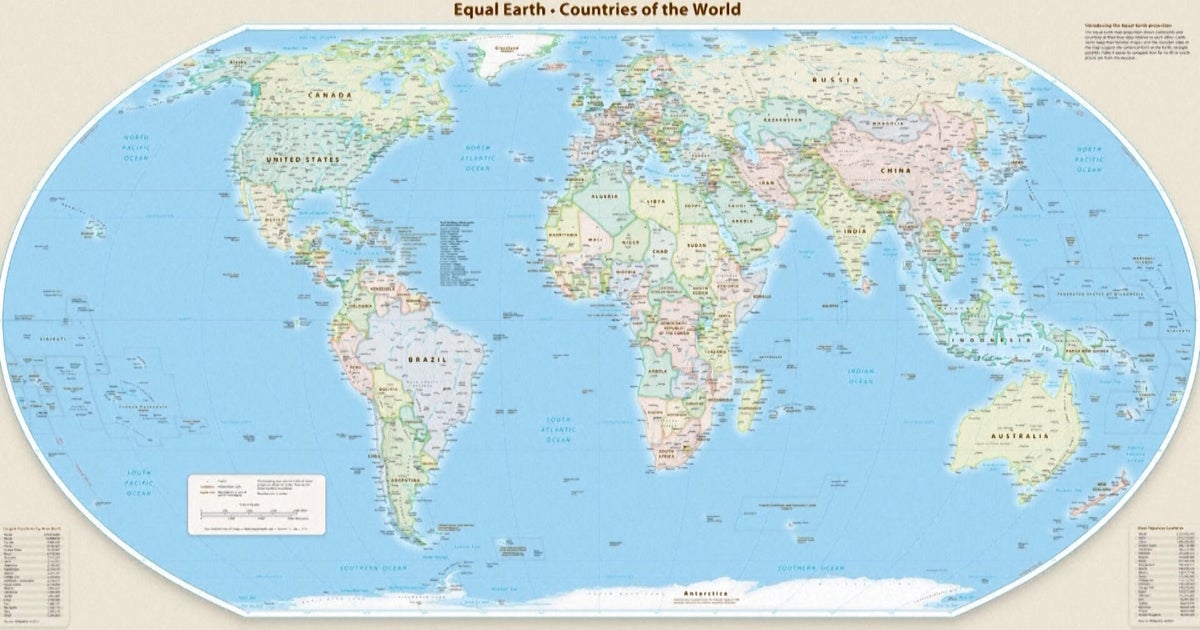
The United Nations General Assembly approved a new world map projection that shows Africa's size more accurately compared to traditional maps. This change encourages countries and organizations to use the Equal Earth map, which better reflects the true size of continents, especially Africa.Key Facts
- The UN General Assembly passed a resolution to promote the use of the Equal Earth map projection.
- The vote was 164 in favor, 1 against (the U.S.), and 6 abstentions.
- The new map shows Africa as much larger than on the old Mercator map, where it appeared smaller.
- The Mercator map, made in the 16th century, distorts sizes, making places near the poles appear bigger and Africa smaller.
- The Equal Earth map keeps the true proportions of continents by following Earth's shape more closely.
- The resolution does not force anyone to stop using the Mercator map but encourages switching to the more accurate one.
- African countries and groups led the campaign for this change to improve education and global understanding.
- Experts say the Mercator map is mainly useful for sea navigation but not for representing real land sizes.
Read the Full Article
This is a fact-based summary from The Actual News. Click below to read the complete story directly from the original source.