Trump's Expanded US Map Includes Territories Locked in Dispute With Canada
Summary
President Donald Trump shared a map on Truth Social showing expanded U.S. borders that include parts of Canada and other territories. The United States and Canada have unresolved disputes over land and maritime borders, especially in the Arctic, where valuable resources are at stake. Both countries have begun talks to try to solve some of these disagreements.Key Facts
- President Trump posted an AI-generated map showing expanded U.S. territory including parts of Canada.
- Trump has previously referred to Canada as the "51st state" and renamed some geographic features like Lake Ontario to Lake America.
- The U.S. and Canada have multiple unresolved border disputes that started long before Trump’s presidency.
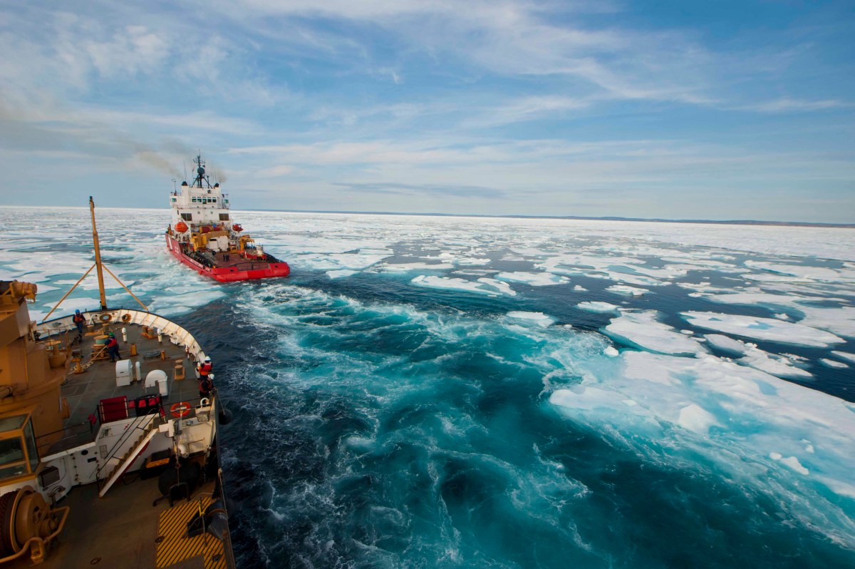
- One major disagreement is over the Beaufort Sea in the Arctic, a region thought to have large oil and gas reserves.
- The dispute over Arctic boundaries comes from different interpretations of an 1825 treaty between Russia and Great Britain.
- Canada wants the boundary to follow the 141st meridian northward, while the U.S. proposes a different offshore boundary.
- In September 2024, the U.S. and Canada formed a joint task force to negotiate the maritime border and continental shelf claims.
- Experts warn that Canada is preparing to strengthen its defense as tensions with the U.S. increase over these territorial issues.
Read the Full Article
This is a fact-based summary from The Actual News. Click below to read the complete story directly from the original source.