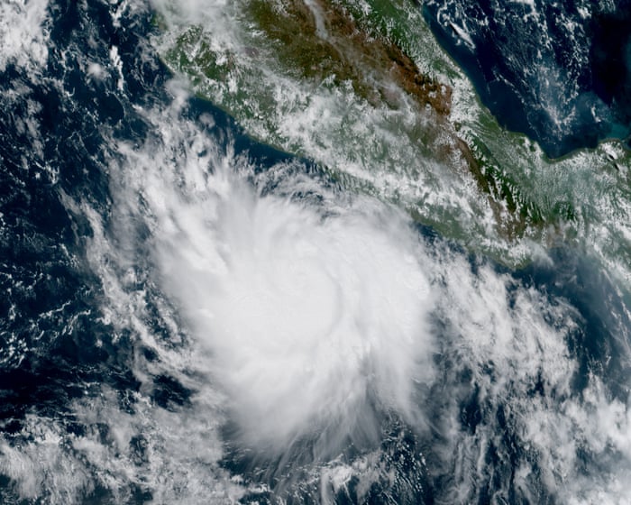
Hurricane Polo, rapidly intensifying from strong El Niño patterns, rages off coast of Mexico
Summary
Hurricane Polo rapidly strengthened from a tropical storm to a Category 5 hurricane off the coast of Mexico due to strong El Niño weather patterns in the Pacific Ocean. While Mexico is likely to avoid a direct hit, officials warn of possible dangerous flooding, mudslides, and rough ocean conditions.Key Facts
- Hurricane Polo’s winds reached 165 mph (266 km/h) in less than 24 hours.
- Polo was about 215 miles (346 km) south of Zihuatanejo, Mexico.
- The rapid intensification was driven by a powerful El Niño, the strongest on record this year.
- El Niño is a weather pattern where Pacific Ocean waters become unusually warm.
- This pattern tends to increase hurricane activity in the Pacific but reduce it in the Atlantic.
- The 2026 Pacific hurricane season has had 18 named storms and 7 hurricanes so far.
- The Atlantic hurricane season has no hurricanes yet, which is unusual for this time of year.
- Officials warn of life-threatening flooding, mudslides, and dangerous sea conditions near Mexico’s coast.
Read the Full Article
This is a fact-based summary from The Actual News. Click below to read the complete story directly from the original source.