Hurricane Polo Tracker, Spaghetti Models as Storm To Make Landfall in Mexico
Summary
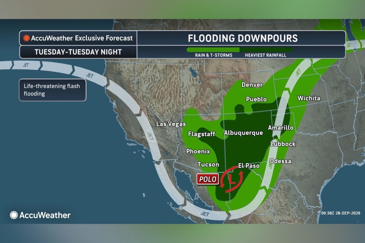
Hurricane Polo is expected to hit Baja California Sur, Mexico, as a strong hurricane, bringing heavy rain, strong winds, and danger of flooding and mudslides. The storm's moisture could also cause significant flooding in parts of the southwestern and central United States.Key Facts
- Hurricane Polo reached Category 5 status with winds up to 180 mph twice last week, which is very rare.
- It quickly intensified from a tropical storm to a Category 5 hurricane in 24 hours.
- Polo is forecast to make landfall in Baja California Sur, Mexico, on Monday evening as a major hurricane.
- Heavy rainfall up to 12 inches is expected in parts of Baja California Sur, causing life-threatening flooding and mudslides.
- After landfall, Polo will weaken but spread moisture into the southwestern and central U.S., increasing flooding risk.
- Flood watches are in effect in New Mexico, Arizona, Utah, and parts of Colorado due to the storm’s moisture.
- Wind gusts and flooding could be dangerous in parts of Arizona, New Mexico, Texas, and central Plains.
- The National Hurricane Center has issued various warnings and watches for coastal and mainland areas of Mexico affected by Polo.
Read the Full Article
This is a fact-based summary from The Actual News. Click below to read the complete story directly from the original source.